
What is the elevation of Utah?
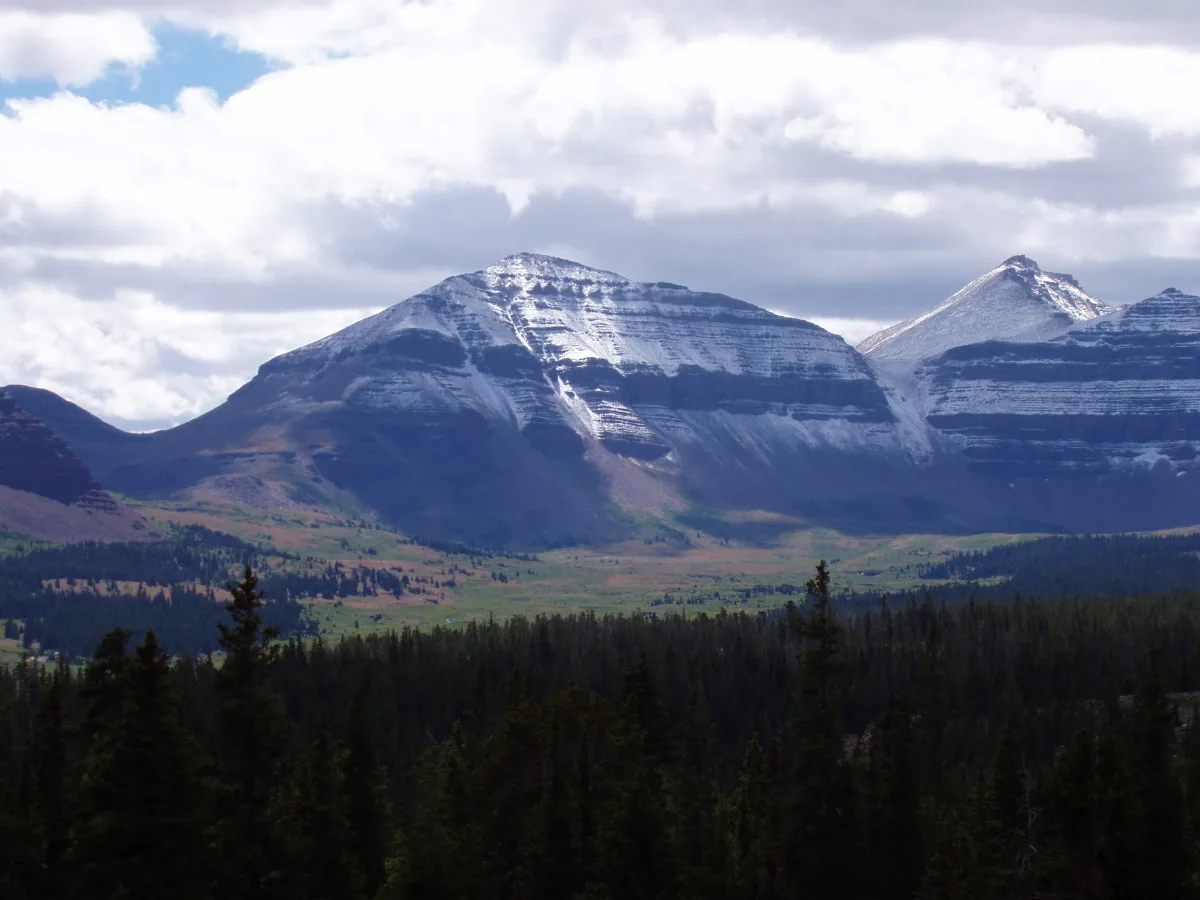
Utah’s average elevation is about 6,100 feet, the third highest of any U.S. state after Colorado and Wyoming. The highest point is Kings Peak at 13,528 feet in the Uinta Mountains, and the lowest is Beaver Dam Wash at about 2,000 feet, in the southwest corner west of St. George, according to the U.S. Geological Survey.
That gives Utah a spread of more than 11,000 feet between its lowest and highest ground. Washington County, home to St. George, holds the low end: most of the state sits on high plateaus and mountains, while St. George sits at about 2,700 feet in a desert valley.
What are the highest and lowest points in Utah?
| Point | Elevation | County | Where it is |
|---|---|---|---|
| Highest: Kings Peak | 13,528 ft (4,123 m) | Duchesne County | Uinta Mountains, in the High Uintas Wilderness of Ashley National Forest, about 12 miles from the nearest trailhead |
| Lowest: Beaver Dam Wash | About 2,000 ft (610 m) | Washington County | Where Beaver Dam Wash crosses into Arizona, in the far southwest corner of Utah, west of St. George |
Sources: the USGS table of state high and low points (Kings Peak 13,528 ft; Beaver Dam Wash 2,000 ft, rounded; mean 6,100 ft) and the Utah Geological Survey (Kings Peak 13,528 ft, location and trail distance), checked November 19, 2026. More precise figures for the low point are a little higher: a Bureau of Land Management map labels it 2,178 feet, and the Utah Division of Water Rights gives 2,199 feet. You may also see Kings Peak listed at 13,534 feet; we found that figure only on secondary sites.
What is the elevation of St. George, Utah?
Downtown St. George sits at about 2,700 feet (820 meters), according to U.S. Geological Survey elevation data at the city's official map point. Across the city, the ground runs from about 2,610 feet in Bloomington Hills to about 3,160 feet in the Red Hills north of downtown, and St. George Regional Airport sits at about 2,860 feet.
That makes St. George one of the lowest-lying cities in Utah, about 3,400 feet below the state average. Our St. George elevation guide has USGS figures for 27 places around the city, from Santa Clara and Ivins to Signal Peak on Pine Valley Mountain.
How high are Southern Utah towns and parks?
Within about 90 minutes of St. George, elevation climbs from desert valleys near 2,700 feet to alpine country near 10,000 feet. The last column is a rough estimate of how much cooler each place runs than downtown St. George at the same moment, using the average rate at which air cools with height: about 3.5°F per 1,000 feet.
| Place | Elevation (feet) | Higher than St. George | Estimated cooler than St. George |
|---|---|---|---|
| St. George (downtown) | 2,700 | — | — |
| Hurricane | 3,240 | 540 ft | about 2°F |
| Springdale | 3,910 | 1,210 ft | about 4°F |
| Zion Canyon Visitor Center | 3,930 | 1,230 ft | about 4°F |
| Kanab | 4,970 | 2,270 ft | about 8°F |
| Cedar City | 5,840 | 3,140 ft | about 11°F |
| Pine Valley | 6,530 | 3,830 ft | about 13°F |
| Brian Head | 9,790 | 7,090 ft | about 25°F |
| Cedar Breaks National Monument | Over 10,000 | More than 7,300 ft | about 26°F or more |
Elevations: each place's map point from the USGS Geographic Names Information System, with the elevation at that point from the USGS Elevation Point Query Service, rounded to the nearest 10 feet; Cedar Breaks from the National Park Service. Temperature estimates use the average lapse rate in the weather theory guide hosted by the National Weather Service; real differences change with the weather, time of day and season.
Does elevation in Utah affect visitors?
Yes, mostly through temperature, road closures and, above about 8,000 feet, the thin air. St. George and the floor of Zion Canyon are low enough that altitude rarely matters. The drives up to Cedar Breaks and Brian Head are where visitors from St. George notice it.
- It gets much colder as you climb. Brian Head, at about 9,790 feet, runs roughly 25°F cooler than downtown St. George by the average lapse rate. Pack a jacket for a summer day trip up State Route 143.
- The road through Cedar Breaks closes for winter. The National Park Service says State Route 148 and the Rim Road through Cedar Breaks National Monument close for snow from around mid-November until mid to late May. The 2026 closure is already in effect; see our Cedar Breaks winter closure update and UDOT's seasonal road list.
- Altitude illness is possible up high. The CDC says travelers who aren't used to altitude are at risk of altitude illness when they sleep at 8,000 feet or higher. In Southern Utah that means overnight stays at Brian Head or near Cedar Breaks, not St. George, Hurricane or Springdale.
- Winter driving rules change with elevation. Brian Head Resort reminds drivers that UDOT can require traction devices on the way up in severe winter weather. Our St. George to Brian Head drive guide covers the route.
- Hikes start higher than you think. Trails in Zion and on Pine Valley Mountain start well above St. George and climb fast. Our outdoor adventure guide lists trails by area.
Utah cities by elevation
St. George is the lowest of Utah's well-known cities. Salt Lake City and Provo sit along the Wasatch Front at roughly 4,200 to 4,600 feet, Moab is near 4,000 feet, and Park City is above 7,000 feet, more than 4,000 feet higher than St. George.
| City | Elevation (feet) | Meters | Compared with St. George |
|---|---|---|---|
| St. George | 2,700 | 823 | — |
| Moab | 4,030 | 1,228 | 1,330 ft higher |
| Salt Lake City | 4,260 | 1,298 | 1,560 ft higher |
| Provo | 4,550 | 1,387 | 1,850 ft higher |
| Kanab | 4,970 | 1,515 | 2,270 ft higher |
| Cedar City | 5,840 | 1,780 | 3,140 ft higher |
| Park City | 7,010 | 2,137 | 4,310 ft higher |
USGS elevation at each city's GNIS map point, rounded to the nearest 10 feet. A city's map point is usually near its historic downtown, so other neighborhoods can sit a few hundred feet higher or lower, and other sources may list slightly different figures.